Geography in the Field II
Mapping London
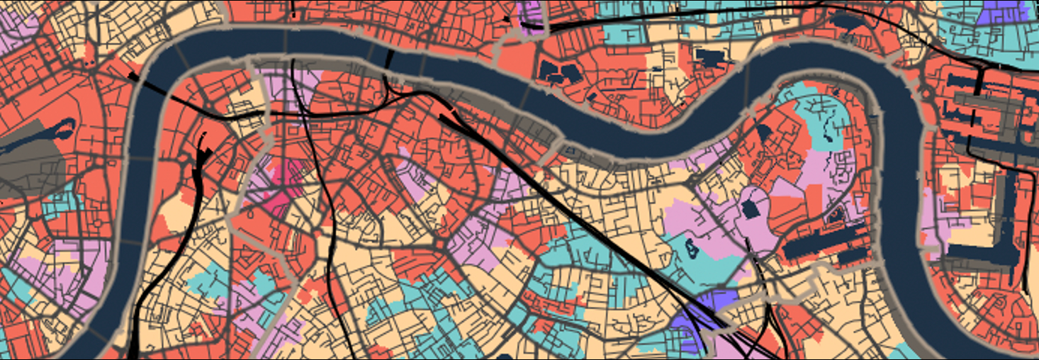
It is an exciting time to be a quantitative geographer in London. The city is producing more data than ever, and maps, graphics, and infographics about London are everywhere. With more people living here than at any point in its history, geographers have a unique opportunity to use these new data sources for research. At the same time, we can approach the information with a critical eye, thanks to the insights we have gained from decades of social and spatial research. This week we will therefore focus on exploring some quantitative data on London and putting these on the map. Literally.
A great example of the diverse range of quantitative data available for London can be found in the book London: The Information Capital by James Cheshire and Oliver Uberti. The book showcases visualisations that highlight the richness of London’s datasets, spanning topics from transport and population to social trends and environmental factors.
Lecture notes
The slides for this week’s lecture can be downloaded here [Link].
Minor updates
This year’s version features the following minor updates:
- Second deployment of the workbook using
Quarto. - Updated page navigation and light rewrite of material.
- Updated instructions on how to start QGIS through the UCL application store.
- Updated instructions on the worksheet submissions.
Acknowledgements
This workbook is created using the Quarto publishing system. Elements of this workbook are partially based on and modified from:
- The GEOG0014: Geography in the Field II 2023-2024 workbook by Justin van Dijk
- The GEOG0014: Geography in the Field II 2022-2023 workbook by Justin van Dijk
- The GEOG0014: Geography in the Field II 2021-2022 workbook by Justin van Dijk
The datasets used in this workbook contain:
- Data from Office for National Statistics licensed under the Open Government Licence v.3.0
- OS data © Crown copyright and database right [2024]